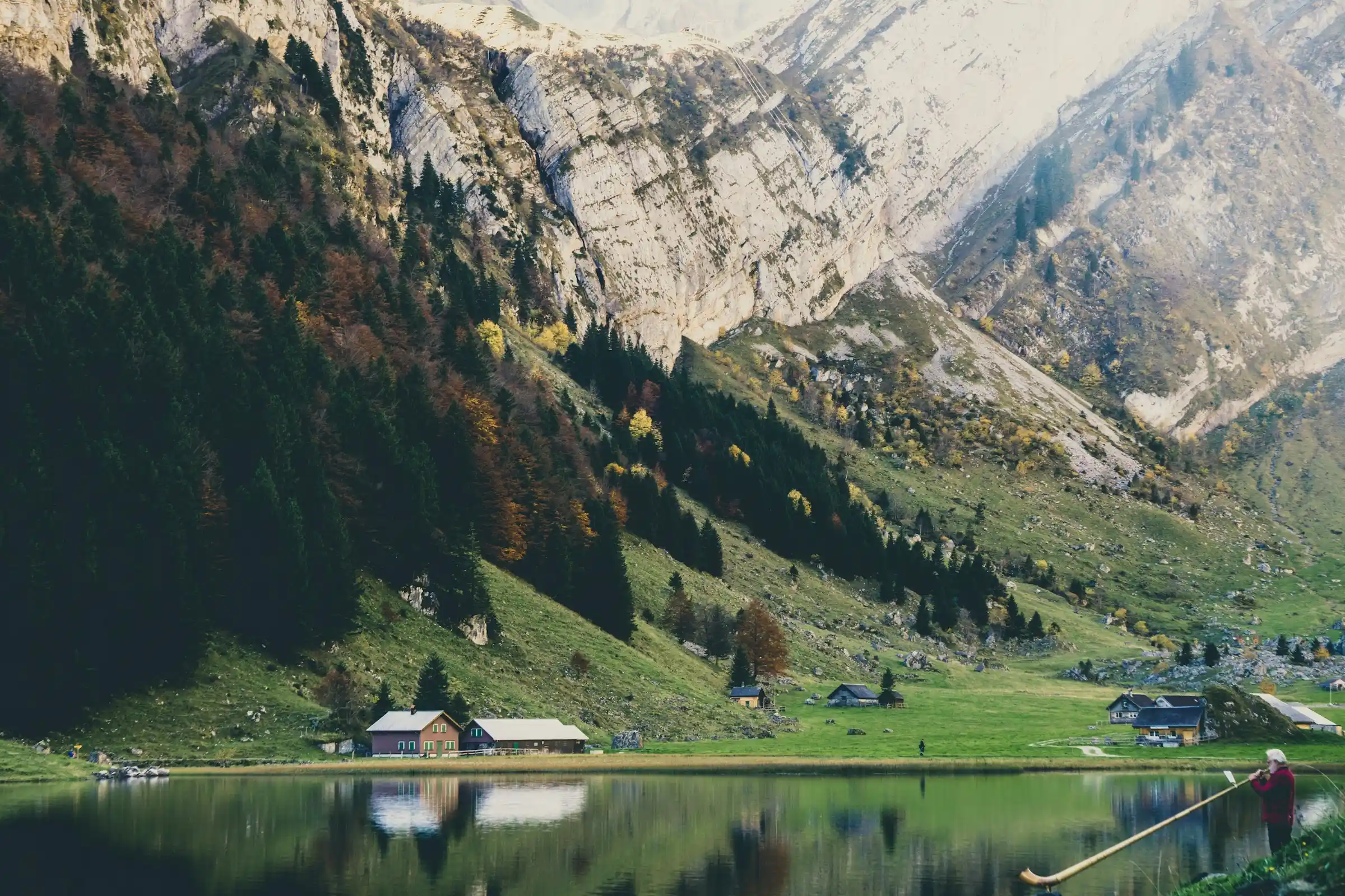
The Swiss Alps hold some of the finest hiking on earth, a network of more than 65,000 kilometres of marked trails that thread past glaciers, turquoise lakes, and the great peaks of the Eiger, the Matterhorn, and the Jungfrau. What makes Switzerland special is not just the scenery but the access: mountain trains, cable cars, and huts let walkers of every level reach high country easily. This guide covers the best Swiss Alps hiking trails, how hard they are, and how to plan a walking trip.
Why hike the Swiss Alps
Swiss trails are famously well marked, with yellow signs giving walking times to the minute and white-red-white blazes for mountain routes. An efficient public transport system means you can ride up to a high start point and walk down, or link villages without retracing your steps. Mountain huts and inns let you break long routes into comfortable days. The result is world-class alpine hiking that is open to families and serious trekkers alike.
The best Swiss Alps hikes
- The Eiger Trail, running beneath the north face of the Eiger near Grindelwald, dramatic but moderate.
- The Five Lakes Walk above Zermatt, with the Matterhorn mirrored in alpine tarns.
- Oeschinensee near Kandersteg, an easy walk to one of the most beautiful mountain lakes in the Alps.
- Bachalpsee from First above Grindelwald, a gentle classic with huge views.
- The Haute Route, the famous multi-day trek from Chamonix to Zermatt for experienced hikers.
Trails for every level
Swiss trails are graded by colour. Yellow routes are easy walking paths suitable for anyone with reasonable fitness. White-red-white mountain trails involve steeper, rougher ground and need sure footing and proper shoes. White-blue-white alpine routes cross glaciers or exposed terrain and call for experience and sometimes equipment. Choosing the right grade for your group is the key to a safe and enjoyable day.
Where to base yourself
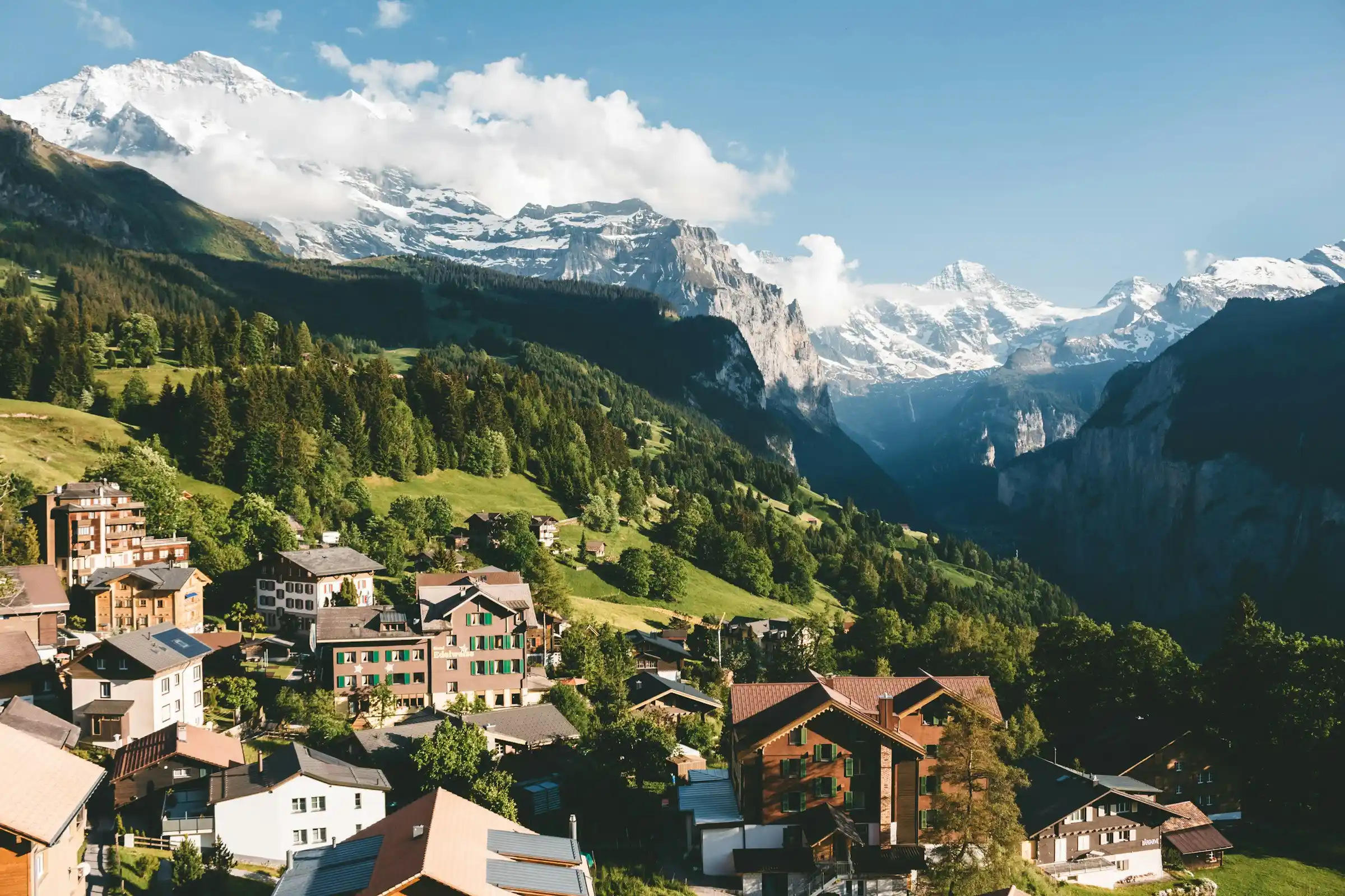
The Jungfrau region around Grindelwald, Wengen, and Lauterbrunnen is the most popular hiking base, with easy access to the Eiger and countless trails. Zermatt, car-free and sitting below the Matterhorn, is the icon of the southern Alps. Other strong bases include the Engadine around St Moritz, the Bernese Oberland, and the lakes of central Switzerland. Any of them makes a fine hub for a week of walking.
When to hike and what to pack
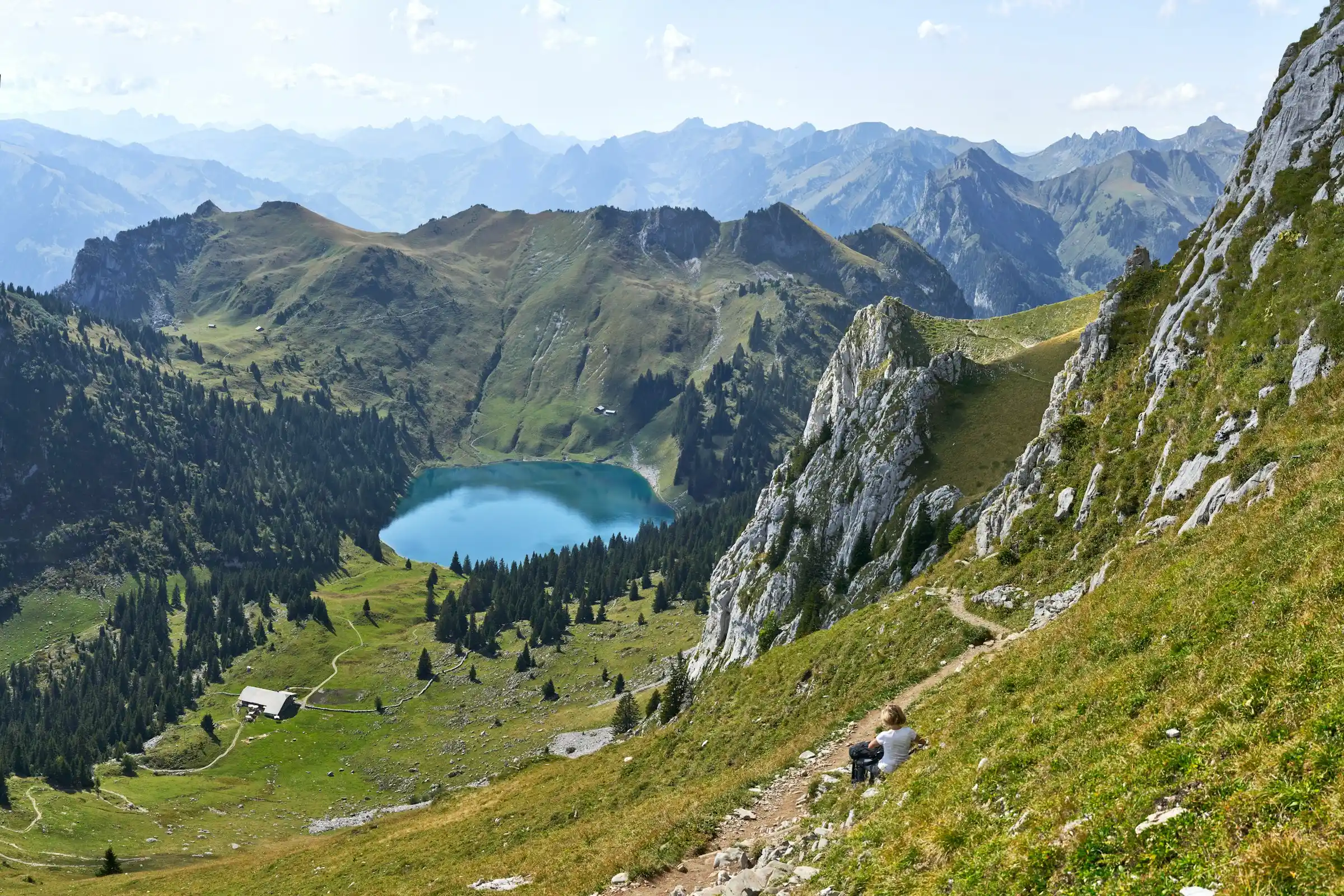
The hiking season runs from late June to mid-September, once the snow has melted from the high trails and the lifts and huts are open. July and August are warmest and busiest, while early September offers clear air and fewer people. Mountain weather changes fast, so carry layers, a waterproof, sun protection, water, and sturdy footwear even on short walks. Our packing list generator can build a hiking list, and keen walkers will also enjoy our guide to the best hikes in Oahu.
Frequently asked questions
What is the best hike in the Swiss Alps?
For scenery and access it is hard to beat the Eiger Trail near Grindelwald or the Five Lakes Walk above Zermatt with its Matterhorn views. For an easy classic, the walk to Oeschinensee is superb.
When is the Swiss Alps hiking season?
Late June to mid-September, once snow clears from the high trails and the lifts and huts open. July and August are warmest and busiest, and early September is quieter with clear air.
Are the Swiss Alps good for beginner hikers?
Yes. Many yellow-signed valley and lakeside trails are easy, and cable cars let you reach high viewpoints without a hard climb. Just match the trail grade to your fitness and wear proper footwear.
Where should I base myself for hiking in Switzerland?
The Jungfrau region around Grindelwald, Wengen, and Lauterbrunnen is the most popular, with huge trail choice. Zermatt, below the Matterhorn, is the other icon. Both make excellent bases for a week of walking.
What do the coloured trail signs mean?
Yellow marks easy walking paths, white-red-white marks mountain trails needing sure footing, and white-blue-white marks demanding alpine routes that may cross glaciers or exposed ground and need experience.
What is the Haute Route?
The Haute Route is a famous long-distance trek between Chamonix in France and Zermatt in Switzerland, passing high passes and glaciers over around two weeks. It is for fit, experienced hikers and is one of the great alpine walks.
Mountain safety and trail etiquette
The Swiss Alps are superbly organised, but they are still high mountains where the weather turns fast. Check the forecast the morning you set out, start early, and be willing to turn back if cloud, storms or snow move in. Swiss trails are clearly waymarked by difficulty — yellow for easy walks, white-red-white for mountain paths and white-blue-white for demanding alpine routes — so match the colour to your experience and footwear rather than pushing onto a harder grade than you are ready for.
Mind the practicalities that catch hikers out. Many routes rely on a cable car or mountain railway at one end, so note the time of the last descent and keep a buffer. Carry water, layers and some food even on short walks, as mountain huts are not always open. And respect the working landscape: close pasture gates behind you, give grazing cattle and sheepdogs a wide berth, and keep to the path to protect the fragile alpine meadows.