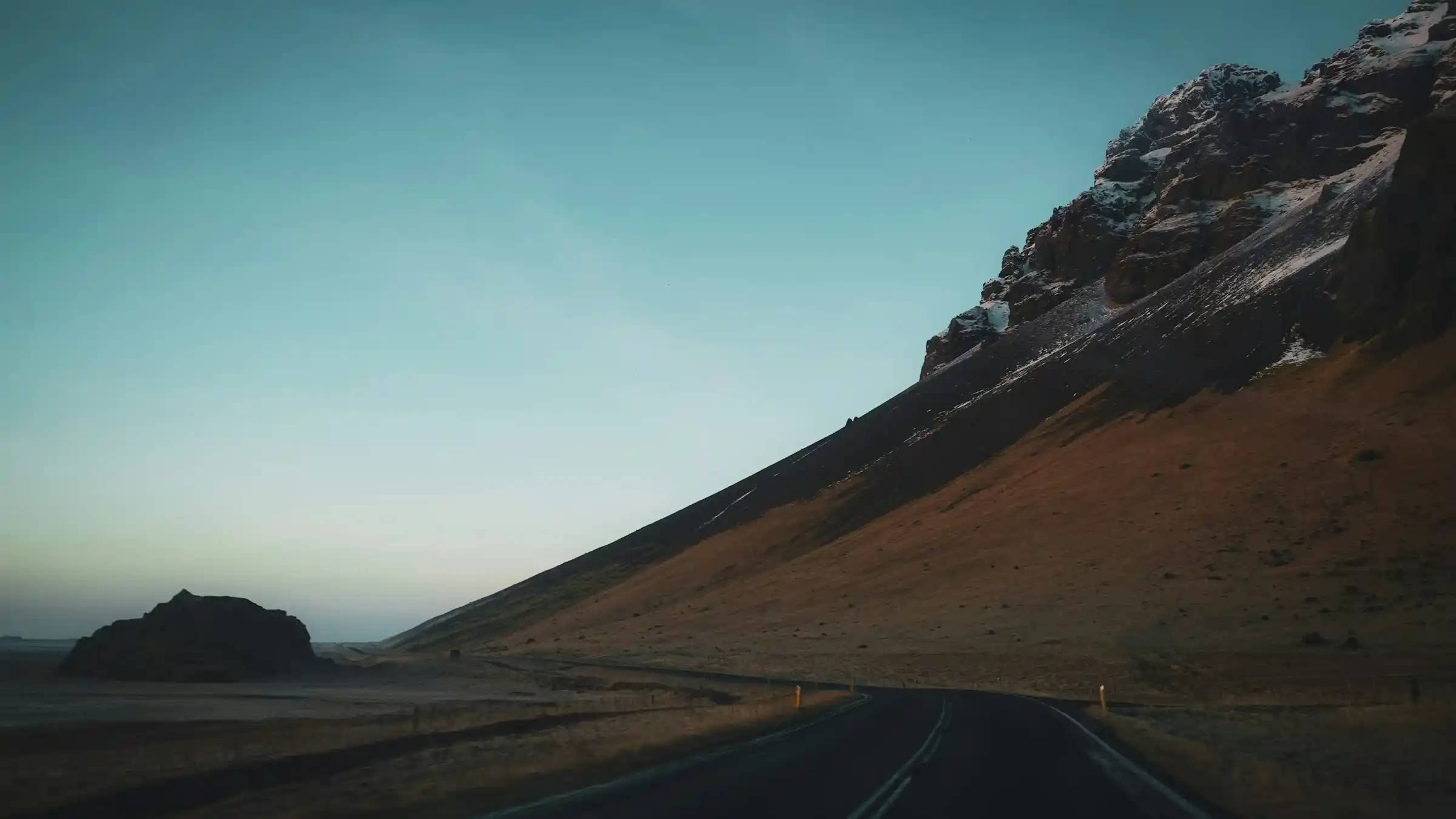
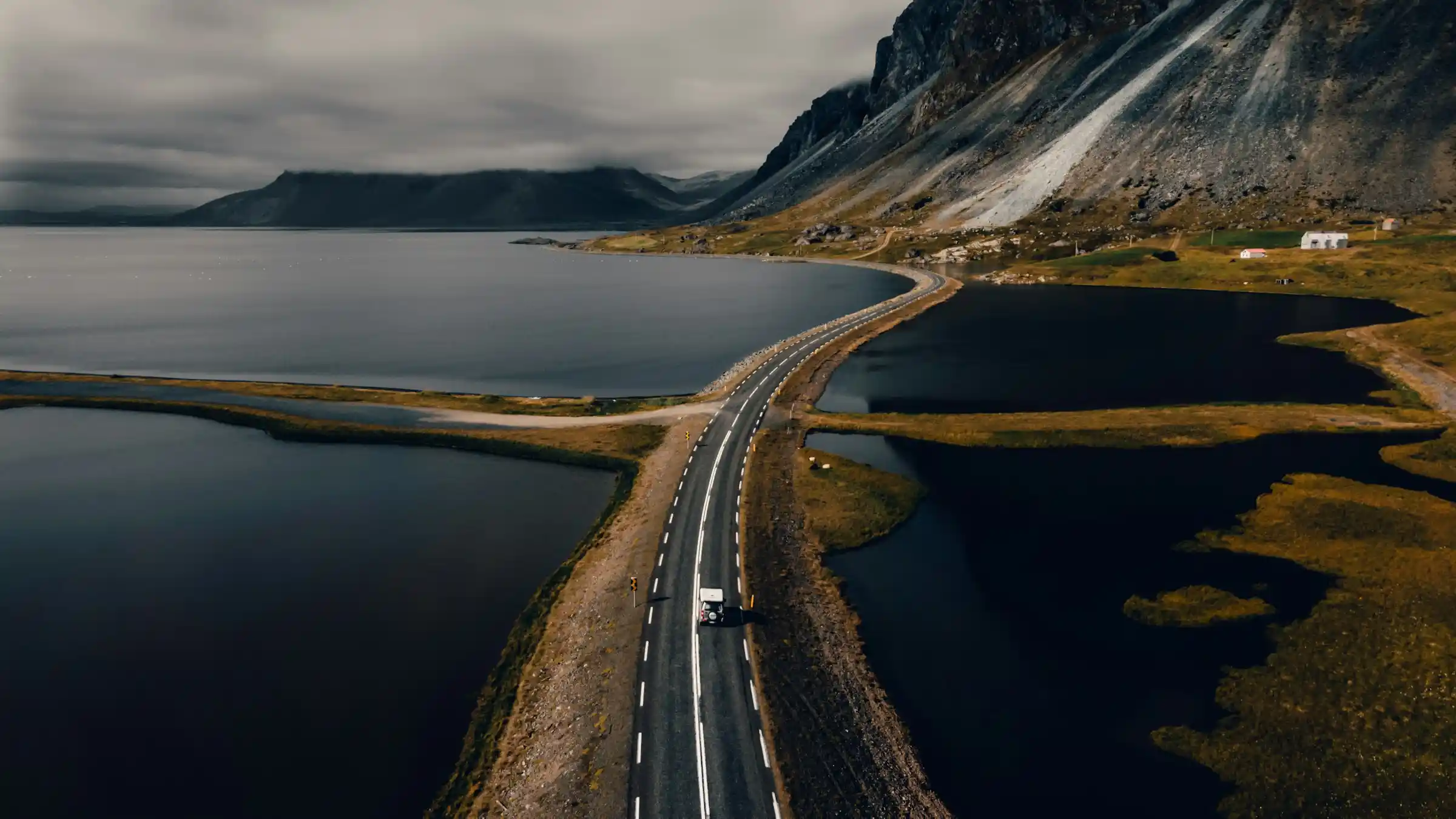
Iceland’s Ring Road — Route 1 — is a 1,322-kilometre loop around the island. It connects Reykjavik to every major region: the waterfalls and black sand beaches of the south coast, the glacier lagoons of the southeast, the empty fjords of the east, the volcanic north, and the Snæfellsnes peninsula in the west.
The road was completed in 1974, when the last bridge over the Skeiðará river in the southeast was finished. Before that, driving around Iceland was not possible. Today, the entire route is paved and maintained year-round, though winter conditions north of Akureyri can close sections for days at a time.
Most travellers drive the Ring Road in 7 to 10 days. That is enough time to stop at the major sights without rushing. A 14-day trip allows for detours into the Westfjords, the Highlands, or the Snæfellsnes peninsula — areas that sit off Route 1 but contain some of Iceland’s most dramatic scenery.
The route at a glance
| Detail | Info |
|---|---|
| Total distance | 1,322 km (821 miles) |
| Driving time (non-stop) | 16 to 17 hours |
| Recommended days | 7 minimum, 10 comfortable, 14 with detours |
| Road surface | Paved (asphalt) the entire route |
| Speed limit | 90 km/h on rural roads, 50 km/h in towns |
| Direction | Counter-clockwise (south coast first) is most popular |
| Fuel stops | Every 50 to 150 km — carry a full tank in the east |
Counter-clockwise is the standard direction because the south coast — waterfalls, glaciers, black sand — hits first, while your energy is highest. Clockwise works if you prefer to build toward the dramatic south at the end. Both directions cover the same ground.
Best time to drive the Ring Road
The Ring Road is drivable year-round, but the experience varies dramatically by season.
- Summer (June–August): 20+ hours of daylight, all roads open, temperatures 10 to 15°C. The best window for a first-time Ring Road trip. Downsides: higher prices, busier attractions, and no northern lights. Late June has midnight sun — the sun barely dips below the horizon.
- Shoulder season (May and September): fewer crowds, lower prices, and a chance at northern lights in September. May can still have snow in the north. September daylight drops to 12 to 14 hours. Roads are generally open but weather is less predictable.
- Winter (October–March): only for experienced winter drivers. Sections of Route 1 in the north and east close regularly due to snow and ice. Daylight drops to 4 to 5 hours in December. But the northern lights, ice caves, and snow-covered landscapes are extraordinary. A 4WD with studded tyres is essential. Check road.is daily.
For an aurora borealis trip combined with the Ring Road, aim for late September or early October — you get enough daylight for driving and enough darkness for northern lights.
Car rental and driving
A rental car is the standard way to do the Ring Road. Campervans are the alternative — they combine transport and accommodation but cost more upfront.
Which vehicle
- 2WD compact: sufficient for summer Ring Road if you stay on Route 1. Cheapest option (roughly €60 to €100/day in summer). Will not handle F-roads or highland tracks.
- 4WD SUV: required for F-roads, recommended for shoulder season and winter. Costs €100 to €180/day. Gives you access to Landmannalaugar, Þórsmörk, and other highland destinations.
- Campervan: saves on accommodation (campsites cost €1,500 to €2,500 ISK per person per night). Budget campervans start around €120/day. Larger 4WD campervans run €200+/day. Iceland has a strong campsite network along Route 1.
Driving tips
- Single-lane bridges: common in the east and north. The car closest to the bridge has right of way. Flash your lights to yield.
- Wind: Iceland’s biggest driving hazard. Gusts above 25 m/s can push a car off the road, especially on exposed coastal stretches. Hold your car door when opening it — wind damage to rental car doors is the most common insurance claim in Iceland.
- Gravel sections: short gravel stretches remain on some detours off Route 1. Slow down to 50 to 60 km/h and give oncoming traffic extra space (gravel throws up stones that crack windshields).
- F-roads: highland tracks marked with an F prefix. 4WD only, often requiring river crossings. Closed in winter. Check road.is before attempting any F-road.
- Fuel: stations are spaced every 50 to 150 km on Route 1. In the east (between Höfn and Egilsstaðir), gaps can stretch further. Fill up whenever you are below half a tank. Most pumps accept credit cards with a PIN.
- Speed cameras: fixed cameras are positioned on Route 1 near towns. Fines start at 5,000 ISK for 6 to 10 km/h over the limit and increase steeply.
South coast
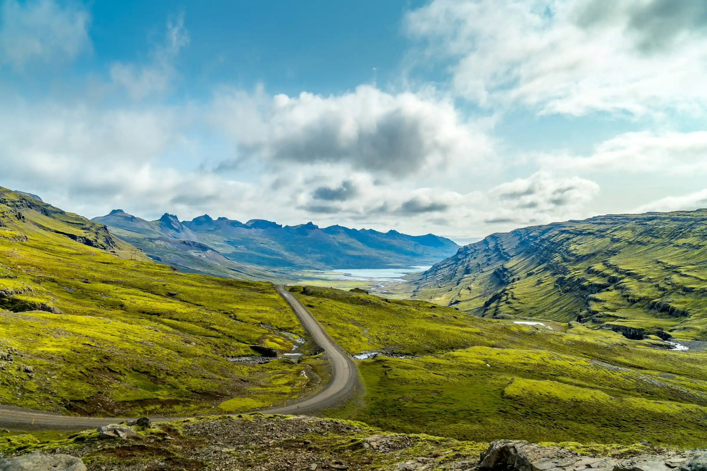
The south coast between Reykjavik and Höfn is the most visited section of the Ring Road. It packs waterfalls, glaciers, and black sand beaches into a 460 km stretch. Most visitors spend 2 to 3 days here.
Key stops
- Seljalandsfoss: a 60-metre waterfall you can walk behind (bring a waterproof jacket — you will get soaked). Free parking was replaced by a 800 ISK fee.
- Skógafoss: wider and more powerful than Seljalandsfoss. A staircase to the right leads to the top, where you can see the river stretching into the highlands. Free entry.
- Reynisfjara: black sand beach with basalt columns and the Reynisdrangar sea stacks. Beautiful but dangerous — sneaker waves have killed visitors. Stay well back from the waterline.
- Vík: the southernmost village in Iceland. A good lunch stop and base for the surrounding area. The Víkurprjón wool shop is worth a visit.
- Skaftafell: part of Vatnajökull National Park. The Svartifoss hike (3.4 km return, moderate) leads to a waterfall framed by basalt columns. Glacier walks on Skaftafellsjökull are available with guides.
- Jökulsárlón: a glacial lagoon where icebergs calve from Breiðamerkurjökull glacier and float toward the sea. Zodiac boat tours run in summer (around 6,000 ISK). Arrive early morning to avoid crowds.
- Diamond Beach: directly across the road from Jökulsárlón. Icebergs wash up on the black sand, catching the light. Best at sunrise or sunset.
East fjords
The east is the quietest section of the Ring Road. Between Höfn and Egilsstaðir, the road weaves through narrow fjords with small fishing villages and almost no tourists. This is where Iceland feels most remote.
- Djúpivogur: a fishing village with colourful houses and the Eggin í Gleðivík outdoor sculpture (34 oversized bird eggs along the harbour).
- Fáskrúðsfjörður: a village with strong French heritage — 19th-century French fishermen used this fjord, and the street signs are bilingual.
- Seyðisfjörður: a 25 km detour off Route 1, but arguably the most photogenic town in Iceland. Rainbow-painted street, wooden Nordic houses, waterfalls cascading into the fjord. The Smyril Line ferry from Denmark docks here.
- Lagarfljót: a lake near Egilsstaðir, reportedly home to Iceland’s version of the Loch Ness monster. The drive along its eastern shore is scenic even without mythical sightings.
Fuel up in Höfn before entering the east — stations are sparse. Budget a full day for this section even though the driving distance is only 260 km; the roads are winding and the fjord scenery demands stops.
North Iceland
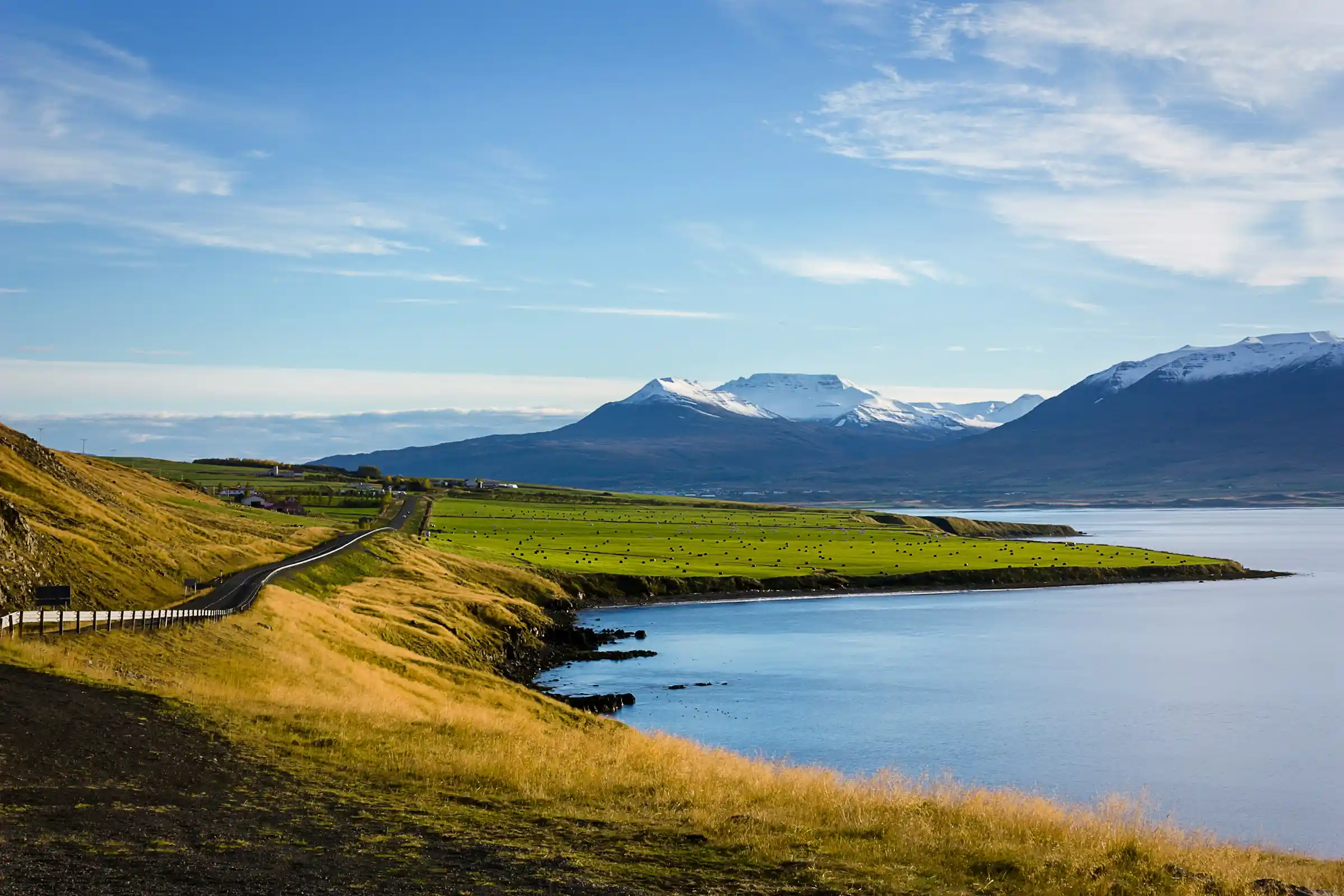
The north between Egilsstaðir and the Snæfellsnes turn-off is the most geologically active section. Volcanic craters, boiling mud pots, and powerful waterfalls define this stretch. Plan 2 to 3 days.
Key stops
- Dettifoss: Europe’s most powerful waterfall by volume. The east bank (Route 862) is paved and closer. The west bank (Route 864) is gravel but offers a face-on view. Go to both if time allows.
- Mývatn: a volcanic lake surrounded by pseudocraters, lava formations, and steaming vents. The Mývatn Nature Baths (5,800 ISK) are a quieter, cheaper alternative to the Blue Lagoon. Hike the Hverfjall crater (4 km loop, 1 hour) for panoramic views.
- Námaskarð: a geothermal area just east of Mývatn. Boiling mud pots, sulphur vents, and a landscape that looks extraterrestrial. Free entry. Stay on the marked paths — the ground is unstable.
- Goðafoss: the “Waterfall of the Gods,” named for the moment in 1000 CE when chieftain Þorgeir Ljósvetningagoði threw his Norse god idols into the falls after Iceland adopted Christianity. Less crowded than the southern waterfalls.
- Akureyri: Iceland’s second city (population 19,000). Good restaurants, a botanical garden, and the starting point for whale watching trips to Eyjafjörður. The Akureyri Church overlooks the harbour.
- Húsavík: a 50 km detour off Route 1, but the whale watching capital of Iceland. North Sailing runs carbon-neutral sailing boats. Humpback whale sightings run above 95 percent in summer.
West Iceland and Snæfellsnes
The Snæfellsnes peninsula is a 90 km detour off Route 1, often called “Iceland in miniature” because it compresses glaciers, lava fields, bird cliffs, and fishing villages into a single peninsula. Worth at least one full day.
- Snæfellsjökull: the glacier-capped volcano that Jules Verne used as the entrance to the centre of the Earth in his 1864 novel. On clear days, it is visible from Reykjavik across the bay.
- Kirkjufell: Iceland’s most photographed mountain, near Grundarfjörður. The adjacent Kirkjufellsfoss waterfall creates a classic composition. Arrive at sunrise to avoid tour buses.
- Arnarstapi and Hellnar: two fishing villages connected by a coastal trail (2.5 km, 45 minutes). The path passes sea arches, bird cliffs (fulmars, kittiwakes), and a natural stone bridge.
- Búðir: a black church on a lava field. One of Iceland’s most iconic photographs.
Back on Route 1, the stretch from Borgarnes to Reykjavik passes through rolling farmland — a quieter end to the trip. The Hraunfossar lava waterfalls (a short detour near Reykholt) are worth a stop if you have time.
The Golden Circle
The Golden Circle is a separate 300 km loop from Reykjavik, not part of the Ring Road, but almost every Ring Road trip includes it on the first or last day.
- Þingvellir National Park: the site of Iceland’s Viking-age parliament (founded 930 CE) and the rift between the North American and Eurasian tectonic plates. The Silfra fissure offers snorkelling in glacial water with 100-metre visibility.
- Geysir and Strokkur: Geysir is dormant, but Strokkur erupts every 5 to 10 minutes, shooting water 15 to 20 metres high. Free entry.
- Gullfoss: a two-tiered waterfall where the Hvítá river drops 32 metres into a narrow canyon. Free entry and parking.
Budget
Iceland is expensive. A Ring Road trip costs more than most European road trips, but careful planning brings it within reach. Here is a realistic 10-day budget breakdown per person, based on two people sharing costs.
| Item | Budget (USD) | Mid-range (USD) |
|---|---|---|
| Car rental (10 days, 2WD/4WD) | $300–400 | $500–900 |
| Fuel | $150–200 | $150–200 |
| Accommodation (per person) | $400–600 (hostels/camping) | $800–1,200 (guesthouses) |
| Food | $300–400 (groceries + occasional meal out) | $500–700 |
| Activities (Blue Lagoon, boat tours, etc.) | $100–200 | $300–500 |
| Parking fees | $50–80 | $50–80 |
| Total per person (10 days) | $1,300–1,900 | $2,300–3,600 |
Saving money
- Buy alcohol at the duty-free shop at Keflavík airport on arrival. A glass of wine at a restaurant costs $15 to $20. Duty-free prices are a fraction of that.
- Shop at Bónus or Krónan supermarkets (recognisable by the pig logo and green sign). Stock up on bread, cheese, skyr, and dried soup packets.
- Skip the Blue Lagoon (entry from $75) and visit Mývatn Nature Baths ($45) or free natural hot pots like Reykjadalur or Seljavallalaug instead.
- Camp: Iceland has dozens of campgrounds along Route 1 charging $10 to $20 per person per night. A camping card ($170 for 28 nights at participating sites) cuts costs further.
- Refuel at N1 or Orkan stations and use their loyalty apps for small discounts on fuel.
For more ways to stretch your travel budget, see our guide to affordable travel destinations.
Food and dining
Eating out in Iceland is expensive — a casual meal costs $25 to $40, a proper restaurant dinner $50 to $80. But the food is worth trying at least a few times.
- Lamb: Icelandic sheep roam free all summer and graze on wild herbs. The lamb is some of the best in the world. Try it slow-roasted or in a traditional kjötsúpa (lamb soup).
- Fish: cod, arctic char, and haddock are staples. Many harbourside restaurants serve the day’s catch. In Ísafjörður, Tjöruhúsið serves pan-fried fish on shared wooden platters — one of the most memorable meals in Iceland.
- Hot dogs: the Icelandic pylsur is a national institution. Lamb, pork, and beef blend, topped with raw and crispy fried onion, ketchup, sweet mustard, and remoulade. Bæjarins Beztu Pylsur in Reykjavik is the original, but every petrol station sells them for around $5.
- Skyr: technically a cheese but eaten like yogurt. High protein, no fat. Available in every supermarket. A cheap, filling breakfast.
- Rye bread (rúgbrauð): slow-baked underground using geothermal heat in some regions. Dense, sweet, and delicious with butter.
Hot springs and geothermal pools
Soaking in geothermally heated water is one of Iceland’s defining experiences. The Ring Road passes within reach of dozens of pools, from commercial resorts to hidden natural springs.
- Blue Lagoon (Grindavík): the most famous, 20 minutes from Keflavík airport. Entry from $75. Pre-booking is mandatory. The milky-blue silica water is warm (38 to 40°C) even in winter. Best visited on your first or last day, not mid-trip.
- Mývatn Nature Baths (north): the northern alternative to the Blue Lagoon. Quieter, less expensive (around $45), and surrounded by volcanic landscape. No pre-booking required.
- Reykjadalur Hot Spring River (south): a 3 km hike (45 minutes each way) into a valley where a geothermally heated river runs through green hills. You sit in the river itself. Free. Bring a towel and swimsuit — there is a changing screen but no facilities.
- Seljavallalaug (south): a hidden pool built into a hillside in 1923. A 15-minute walk from the road. Unheated by modern standards (around 25 to 30°C in summer), unmaintained, and empty most of the time. Free.
- Vök Baths (east, near Egilsstaðir): floating geothermal pools on Lake Urriðavatn. A design-forward spa with a focus on local ingredients. Entry from 5,500 ISK.
- GeoSea (Húsavík, north): infinity pools overlooking Skjálfandi Bay with mountain views. Sea-water heated geothermally. Entry from 5,500 ISK.
- Public swimming pools: every town in Iceland has a public pool (sundlaug) heated by geothermal water. Entry costs 700 to 1,200 ISK ($5 to $9). These are where locals go — hot tubs, lap pools, and sometimes a slide. Mandatory pre-swim shower without a swimsuit (enforced by attendants).
What to pack
Iceland’s weather changes several times a day. Layering is non-negotiable. Here is what to bring regardless of season:
- Waterproof outer layer: a rain jacket and rain trousers. Not water-resistant — fully waterproof. You will walk behind Seljalandsfoss and stand in horizontal rain at Reynisfjara.
- Thermal base layer: merino wool tops and leggings for cold days. Even in summer, temperatures at glaciers and in the highlands drop below 5°C.
- Fleece or down mid-layer: for insulation. A packable down jacket covers most conditions.
- Sturdy hiking boots: waterproof, ankle-height, broken in before the trip. You will walk on wet rock, loose gravel, and uneven lava fields.
- Swimsuit: for hot springs, geothermal pools, and the Blue Lagoon. You will use it more than you expect.
- Buff/neck gaiter and beanie: wind protection for exposed coastal walks and waterfall viewpoints.
- Sunglasses: essential in summer (24-hour daylight creates glare) and winter (snow reflection).
Practical tips
- Currency: Icelandic króna (ISK). Credit and debit cards (with PIN) are accepted everywhere, including remote petrol pumps. You rarely need cash.
- Connectivity: buy a Síminn or Vodafone prepaid SIM at the airport for data along the route. Coverage is reliable on Route 1 but drops in the Westfjords and Highlands. Download offline maps on Google Maps or maps.me before you leave Reykjavik.
- Emergency number: 112. Iceland’s search and rescue teams (ICE-SAR) are volunteer-based and highly capable. Download the 112 Iceland app — it lets you send your GPS location to emergency services.
- Weather: check en.vedur.is (the Icelandic Met Office) daily. Weather in Iceland changes hourly. Rain, sun, wind, and fog can cycle through in a single afternoon.
- Road conditions: road.is shows real-time conditions for every road in Iceland, including closures, ice warnings, and wind speed.
- Insurance: make sure your travel insurance covers Iceland specifically, including car damage from gravel, wind, and ash. The CDW (collision damage waiver) from rental companies often excludes windshield and undercarriage damage — check the fine print.
- Parking app: download the Parka app for automated parking payments at waterfalls and national park sites along Route 1.
- Solo travel: Iceland is one of the safest countries in the world. The Ring Road is well-suited for solo travellers. Crime is virtually non-existent outside Reykjavik.
- Etiquette: stay on marked paths (moss takes decades to regrow after being stepped on), do not stack rocks (it disrupts habitats), and never leave gates open on farmland.
Wildlife along the route
- Puffins: nest on sea cliffs from mid-April to mid-August. The largest colonies are at Látrabjarg (Westfjords), Borgarfjörður Eystri (east), and the Vestmannaeyjar islands (south). You can see them close-up at Borgarfjörður Eystri from a viewing platform.
- Whales: humpback, minke, and occasionally blue whales. Húsavík (north) has the highest success rates. Tours run from April to October, peaking in June–August.
- Seals: harbour seals haul out on beaches along the north coast, especially at Hvítserkur and Illugastaðir (Vatnsnes peninsula, a short detour off Route 1).
- Arctic foxes: Iceland’s only native land mammal. Shy and hard to spot, but present throughout the island. Best chances in the Westfjords at the Arctic Fox Centre in Súðavík.
- Icelandic horses: everywhere along Route 1. They are friendly but do not feed them. Icelandic horses have been genetically isolated for 1,000 years — no horse that leaves Iceland is allowed to return.
Frequently asked questions
How many days do you need for the Iceland Ring Road?
A minimum of 7 days covers the highlights without lingering. Ten days is comfortable, allowing time for hikes, detours, and bad weather days. Fourteen days lets you add the Westfjords, Snæfellsnes, or Highland excursions.
Can you drive the Ring Road in winter?
Yes, but it is significantly harder. Sections in the north and east close frequently due to snow and ice. Daylight drops to 4 to 5 hours in December. A 4WD with studded tyres is essential, and you should carry emergency supplies. Check road.is daily and be prepared to adjust your route.
Do I need a 4WD for the Ring Road?
Not in summer if you stay on Route 1. The entire Ring Road is paved. A 2WD is sufficient. However, a 4WD is required for F-roads (highland tracks) and strongly recommended for shoulder season and winter driving.
Which direction should I drive the Ring Road?
Counter-clockwise (south coast first) is the most popular direction. It puts the dramatic waterfalls, glaciers, and black sand beaches early in the trip. Clockwise works equally well and means you hit the south coast fresh at the end.
How much does an Iceland Ring Road trip cost?
A budget 10-day trip costs roughly $1,300 to $1,900 per person (camping, cooking, minimal activities). A mid-range trip runs $2,300 to $3,600 per person (guesthouses, mix of restaurants and cooking, more activities). Costs are based on two people sharing a car and accommodation.
Is the Ring Road safe?
Yes. Iceland is extremely safe, and Route 1 is well-maintained. The main hazards are weather-related: high winds, sudden fog, and winter ice. Drive to conditions, check road.is and vedur.is daily, and carry the 112 Iceland emergency app.
What is the best time of year for the Ring Road?
June through August for the best weather, longest daylight, and all roads open. September for fewer crowds and a chance at northern lights. Winter for aurora, ice caves, and snow landscapes — but only with winter driving experience and a 4WD.
Can I see the northern lights on the Ring Road?
Yes, from September to March when nights are dark enough. The Ring Road takes you far from Reykjavik’s light pollution, which improves your chances. Check the Icelandic Met Office aurora forecast (vedur.is) and look for clear skies with a KP index of 3 or higher. Read our full northern lights guide for more detail.